Save
Download
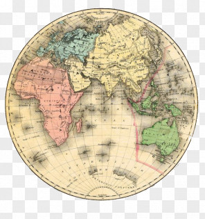
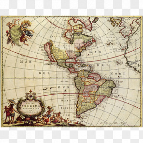
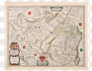
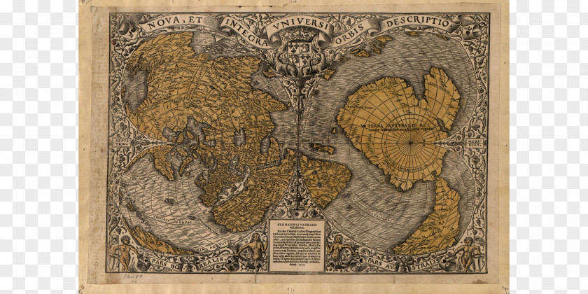
Map Piri Reis Early World Maps Antarctica
for free. It is licensed for Personal Use. TheMap Piri Reis Early World Maps Antarctica transparent background image
is 4.07 MB, has a resolution of 1920x960 pixels and was uploaded on December 31, 2021 @ 1:49 am by user: daniein. It is filed under the tags: history, fra mauro, globe, cartography, piri reis. Click the blue button at the top to freely download: Map Piri Reis Early World Maps Antarctica png.Map Piri Reis Early World Maps Antarctica PNG
Users also downloaded these images