Save
Download
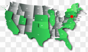
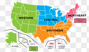
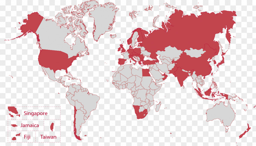
Europe And The United States Early World Maps Atlas
for free. It is licensed for Personal Use. TheEurope And The United States Early World Maps Atlas transparent background image
is 226.15 KB, has a resolution of 1148x656 pixels and was uploaded on October 28, 2019 @ 7:18 pm by user: eliasdt. It is filed under the tags: flat earth, scale, area, map, country. Click the blue button at the top to freely download: Europe And The United States Early World Maps Atlas png.Europe And The United States Early World Maps Atlas PNG
Users also downloaded these images