Save
Download
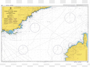
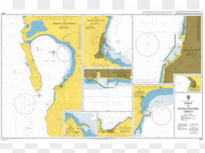
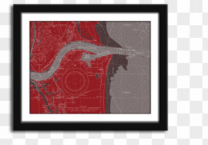
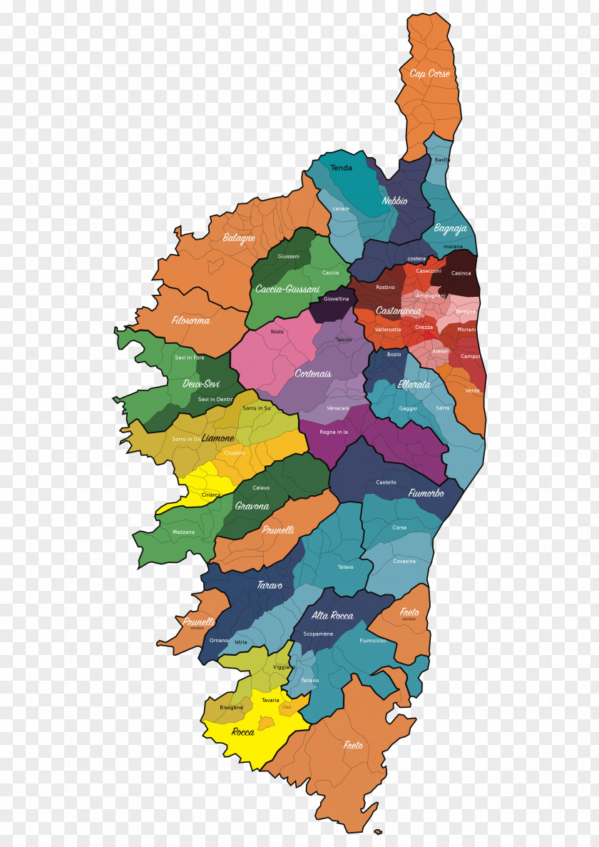
Map Figari World Nautical Chart City
for free. It is licensed for Personal Use. TheMap Figari World Nautical Chart City transparent background image
is 1.02 MB, has a resolution of 2384x3370 pixels and was uploaded on February 2, 2022 @ 9:58 am by user: franzink. It is filed under the tags: corsedusud, art, map, corsica, south. Click the blue button at the top to freely download: Map Figari World Nautical Chart City png.Map Figari World Nautical Chart City PNG
Users also downloaded these images