Save
Download
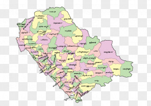
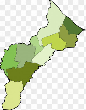
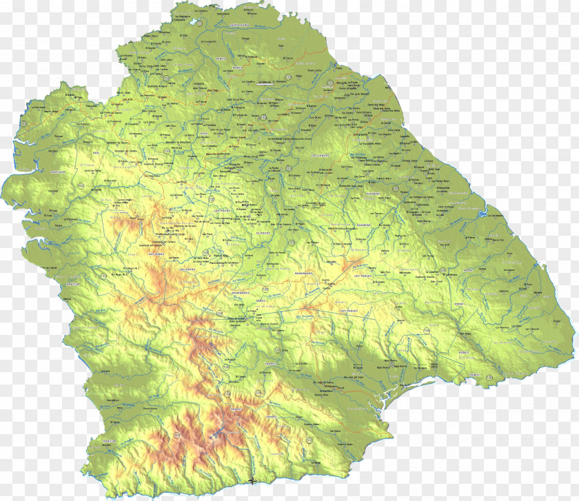
Map Azuero Peninsula Los Santos District Terrain Pesé Guararé
for free. It is licensed for Personal Use. TheMap Azuero Peninsula Los Santos District Terrain Pesé Guararé transparent background image
is 5.63 MB, has a resolution of 2301x1993 pixels and was uploaded on May 4, 2023 @ 11:18 am by user: manuenig. It is filed under the tags: gulf of parita, ecoregion, terrain, herrera province, panama. Click the blue button at the top to freely download: Map Azuero Peninsula Los Santos District Terrain Pesé Guararé png.Map Azuero Peninsula Los Santos District Terrain Pesé Guararé PNG
Users also downloaded these images