Save
Download
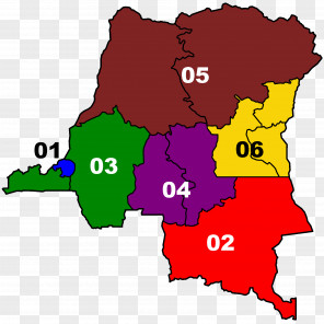
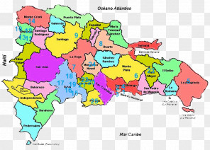
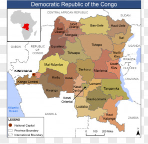
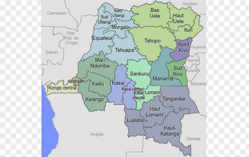
Map Provinces Of The Democratic Republic Congo Province Équateur Sankuru Ituri
for free. It is licensed for Personal Use. TheMap Provinces Of The Democratic Republic Congo Province Équateur Sankuru Ituri transparent background image
is 344.95 KB, has a resolution of 848x536 pixels and was uploaded on January 21, 2022 @ 5:36 am by user: helgawolf. It is filed under the tags: provinces of the democratic republic of the congo, atlas, tshuapa, map, kinshasa. Click the blue button at the top to freely download: Map Provinces Of The Democratic Republic Congo Province Équateur Sankuru Ituri png.Map Provinces Of The Democratic Republic Congo Province Équateur Sankuru Ituri PNG
Users also downloaded these images