Save
Download
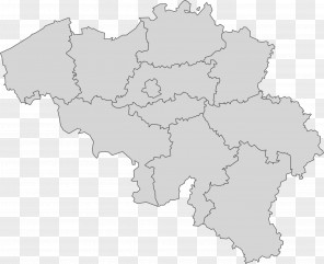
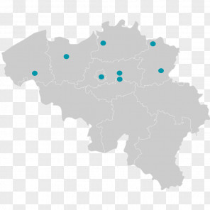
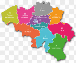
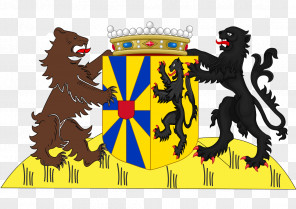
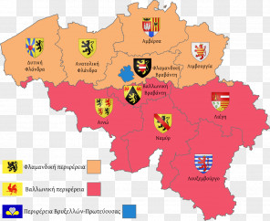
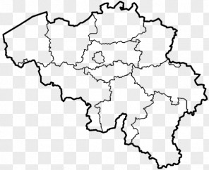
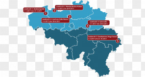
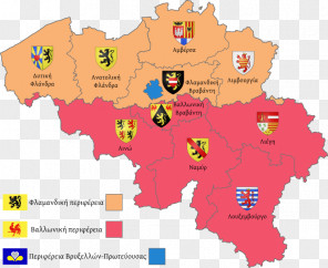
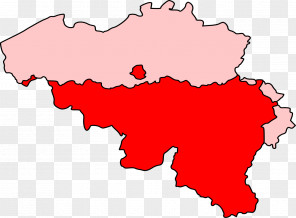
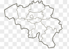
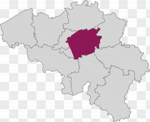
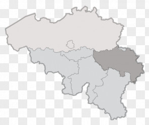
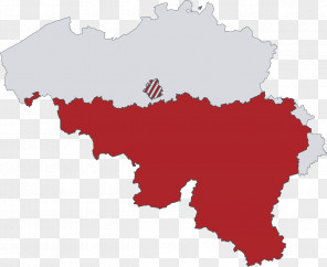
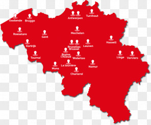
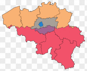
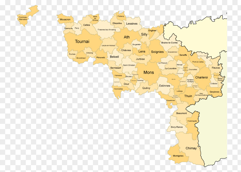
Map Bruges Provinces Of Belgium Hainaut East Flanders
for free. It is licensed for Personal Use. TheMap Bruges Provinces Of Belgium Hainaut East Flanders transparent background image
is 94.33 KB, has a resolution of 743x600 pixels and was uploaded on June 28, 2019 @ 8:22 pm by user: erikth. It is filed under the tags: flemish region, bruges, west flanders, travel, provinces of belgium. Click the blue button at the top to freely download: Map Bruges Provinces Of Belgium Hainaut East Flanders png.Map Bruges Provinces Of Belgium Hainaut East Flanders PNG
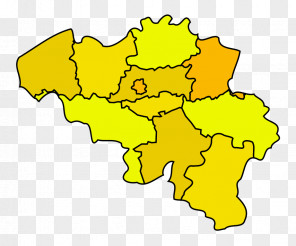
Users also downloaded these images