Save
Download
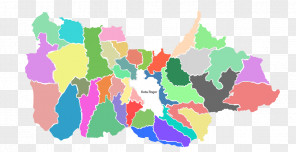
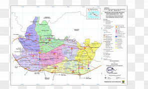
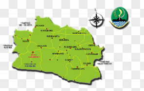
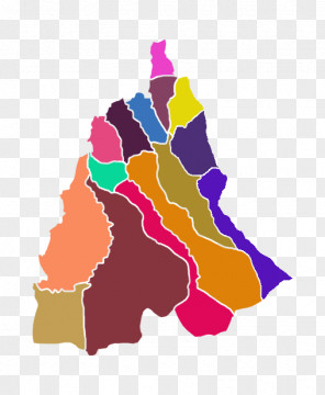
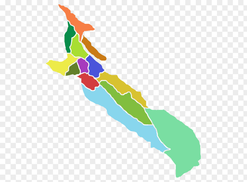
Ciawi Map Bendungan Geography Subdistrict (Indonesia)
for free. It is licensed for Personal Use. TheCiawi Map Bendungan Geography Subdistrict (Indonesia) transparent background image
is 45.68 KB, has a resolution of 555x619 pixels and was uploaded on July 21, 2024 @ 8:38 pm by user: genoeck. It is filed under the tags: location, geography, territory, bogor regency, subdistrict indonesia. Click the blue button at the top to freely download: Ciawi Map Bendungan Geography Subdistrict (Indonesia) png.Ciawi Map Bendungan Geography Subdistrict (Indonesia) PNG
Users also downloaded these images