Save
Download
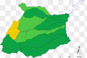
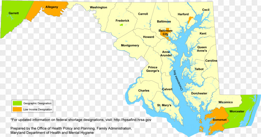
Map Chesapeake Bay Water Resources Ecoregion Line
for free. It is licensed for Personal Use. TheMap Chesapeake Bay Water Resources Ecoregion Line transparent background image
is 482.71 KB, has a resolution of 2411x1272 pixels and was uploaded on August 5, 2021 @ 1:12 pm by user: matthiler. It is filed under the tags: ecoregion, drainage basin, water resources, water, diagram. Click the blue button at the top to freely download: Map Chesapeake Bay Water Resources Ecoregion Line png.Map Chesapeake Bay Water Resources Ecoregion Line PNG
Users also downloaded these images