Save
Download
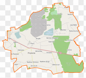
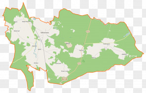
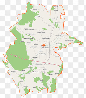
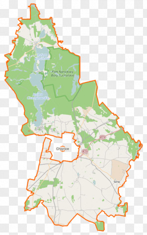
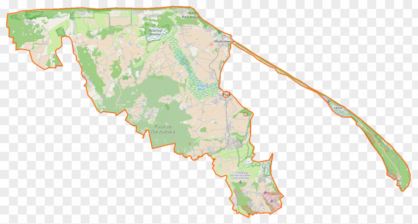
Map Ostrowo, Puck County Wejherowo Cape Rozewie Gmina Kosakowo
for free. It is licensed for Personal Use. TheMap Ostrowo, Puck County Wejherowo Cape Rozewie Gmina Kosakowo transparent background image
is 242.47 KB, has a resolution of 1384x744 pixels and was uploaded on March 12, 2024 @ 7:20 am by user: linaaf. It is filed under the tags: rozewie pomeranian voivodeship, poland, puck, wejherowo county, gmina kosakowo. Click the blue button at the top to freely download: Map Ostrowo, Puck County Wejherowo Cape Rozewie Gmina Kosakowo png.Map Ostrowo, Puck County Wejherowo Cape Rozewie Gmina Kosakowo PNG
Users also downloaded these images