Save
Download
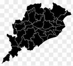
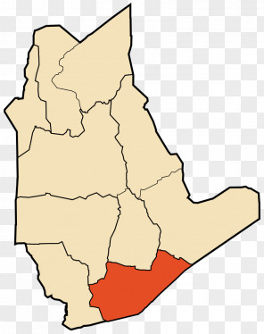
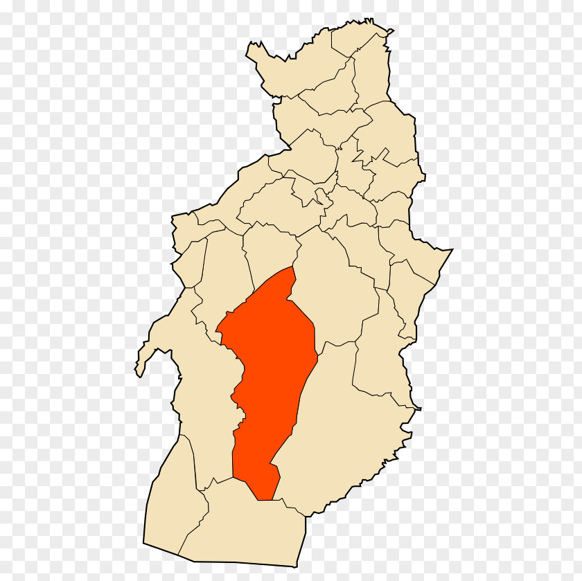
Map Tébessa District El Kouif Bir Ater Tlidjene
for free. It is licensed for Personal Use. TheMap Tébessa District El Kouif Bir Ater Tlidjene transparent background image
is 84.46 KB, has a resolution of 500x839 pixels and was uploaded on March 11, 2020 @ 4:03 am by user: lieseker. It is filed under the tags: tree, locator map, topographic map, algeria, line art. Click the blue button at the top to freely download: Map Tébessa District El Kouif Bir Ater Tlidjene png.Map Tébessa District El Kouif Bir Ater Tlidjene PNG
Users also downloaded these images