Save
Download
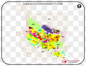
Map Zoning Geographic Information System
for free. It is licensed for Personal Use. TheMap Zoning Geographic Information System transparent background image
is 172.33 KB, has a resolution of 1333x1333 pixels and was uploaded on April 7, 2020 @ 9:59 am by user: adelaun. It is filed under the tags: text, planning and zoning commission, symbol, zoning, geographic information system. Click the blue button at the top to freely download: Map Zoning Geographic Information System png.Map Zoning Geographic Information System PNG
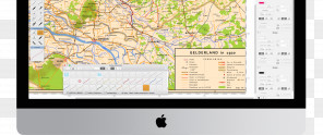
Users also downloaded these images