Save
Download
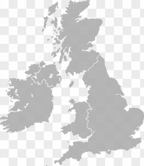
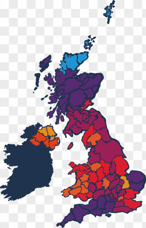
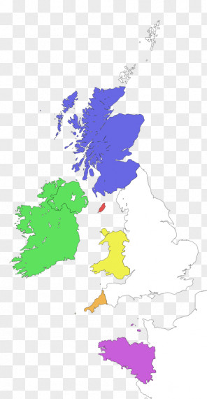
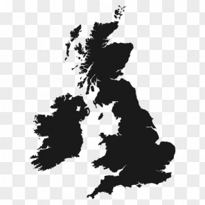
Map Great Britain British Isles Ordnance Survey
for free. It is licensed for Personal Use. TheMap Great Britain British Isles Ordnance Survey transparent background image
is 1.25 MB, has a resolution of 1214x2400 pixels and was uploaded on March 30, 2021 @ 6:02 am by user: johannge. It is filed under the tags: stock photography, map, vector map, british isles, great britain. Click the blue button at the top to freely download: Map Great Britain British Isles Ordnance Survey png.Map Great Britain British Isles Ordnance Survey PNG
Users also downloaded these images