Save
Download
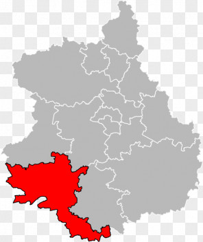
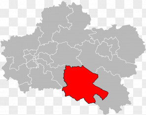
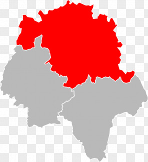
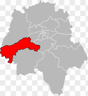
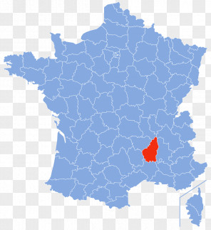
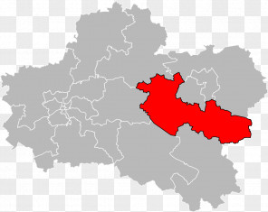
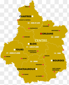
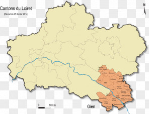
Map Indre Cher Truyes Loiret
for free. It is licensed for Personal Use. TheMap Indre Cher Truyes Loiret transparent background image
is 43.58 KB, has a resolution of 535x570 pixels and was uploaded on May 9, 2020 @ 3:00 pm by user: thereer. It is filed under the tags: cher, centre region france, world, touraine, geography. Click the blue button at the top to freely download: Map Indre Cher Truyes Loiret png.Users also downloaded these images