Save
Download
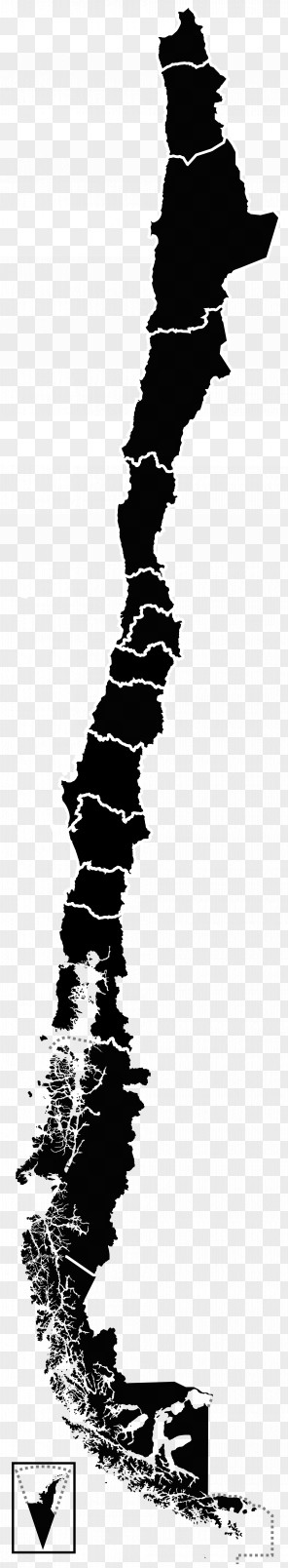
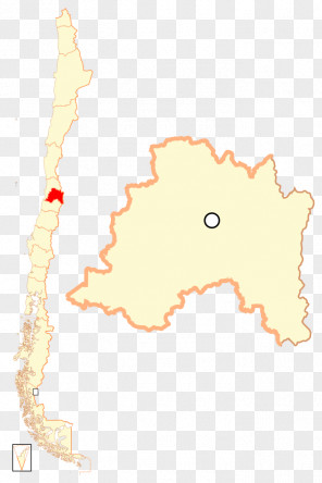
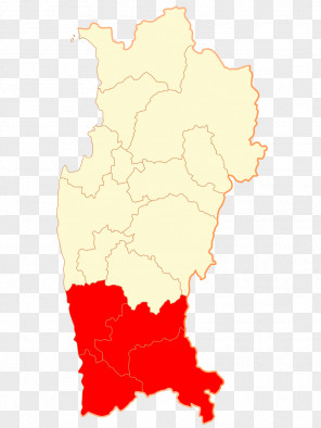
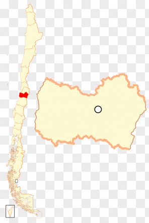
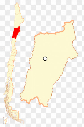
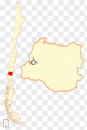
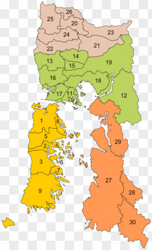
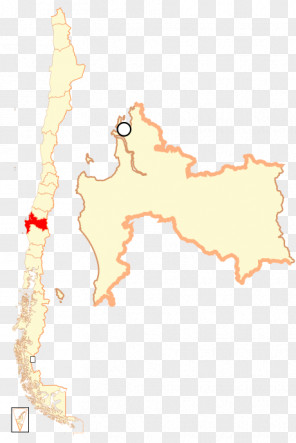
Map San Antonio Regions Of Chile El Tabo Melipilla Province
for free. It is licensed for Personal Use. TheMap San Antonio Regions Of Chile El Tabo Melipilla Province transparent background image
is 147.26 KB, has a resolution of 962x1192 pixels and was uploaded on October 7, 2019 @ 1:25 pm by user: pascahn. It is filed under the tags: ecoregion, san antonio province, city, el tabo, geography. Click the blue button at the top to freely download: Map San Antonio Regions Of Chile El Tabo Melipilla Province png.Map San Antonio Regions Of Chile El Tabo Melipilla Province PNG
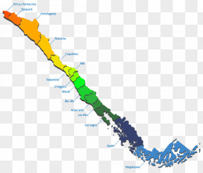
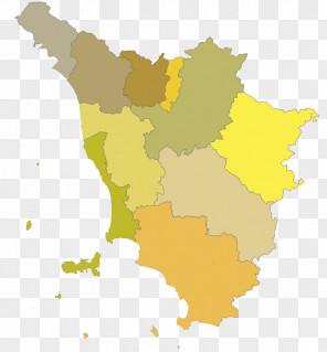
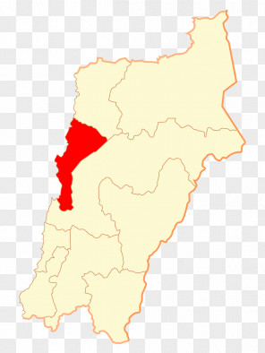
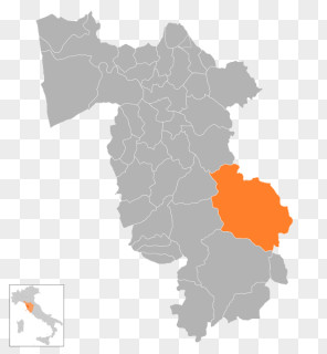
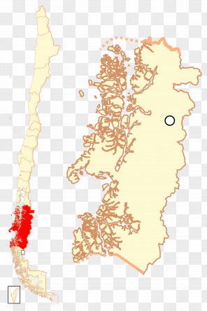
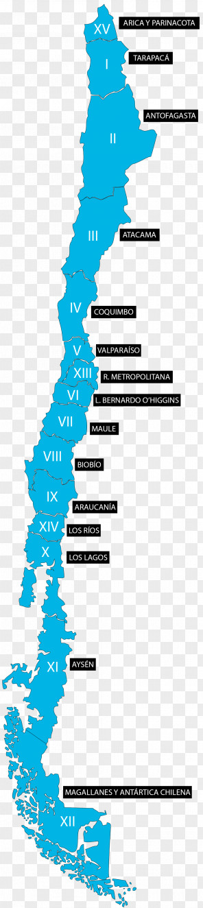
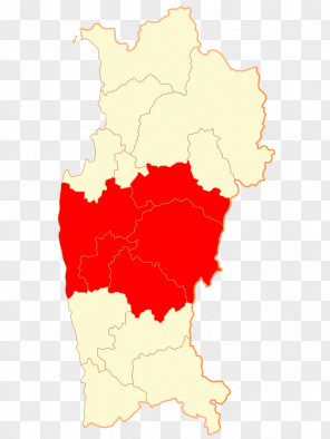
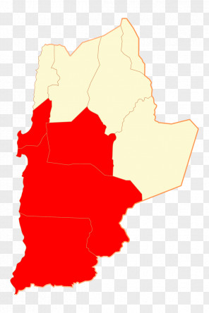
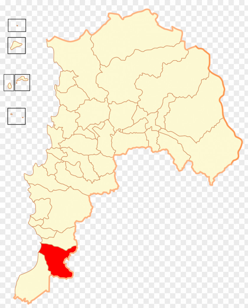
Users also downloaded these images